


Dublin: Mapping the City
original price
€37.50
-
original price
€37.50
original price
€37.50
€37.50
-
€37.50
current price
€37.50
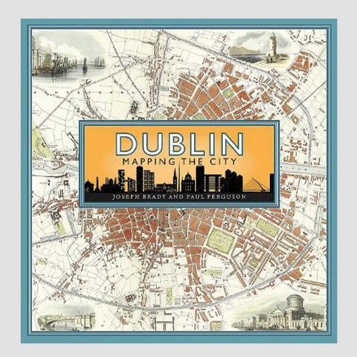
Explore the streets of Dublin through the ages with Dublin: Mapping the City.
This attractive book is packed full of maps of the city, that document the city's growth and development, from the very first official map in 1610, the effects of the Easter Rising in 1916 and the Civil War in 1922, to the development of the docks in the 1970's. This mix of big scale and small scale maps, pulls together a fascinating portrait of Dublin through the ages, offering a very personal perspective of our very own fair city.
Check out the rest of our books - we have a good few of them here at designist. Check out our irish books
Who wrote it?
Joseph Brady & Paul Ferguson
How does it come?
hardback approx. 25 x 25.5 x 3 cm